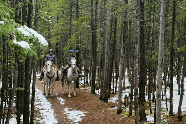
Before heading out in the high country, whether on horseback or on foot, it is a good idea to check your local weather conditions, and carry an emergency kit for both you and your horse. I found the Indian Peaks Wilderness Alliance (IPWA), a Boulder-based nonprofit, a good source for information on trails in the Indian Peaks—just a short drive from the Front Range.
This area is one of the most heavily used wilderness areas in the U.S. With 73,391 acres, the Indian Peaks Wilderness is located primarily within the Arapaho and Roosevelt National Forests and includes more than 50 lakes, 28 trails covering 133 miles, and six mountain passes across the Continental Divide. Elevations in the wilderness vary from 8,400 ft. to more than 13,500 ft.
IPWA volunteers assist the U.S. Forest Service (FS) by going on hiking patrols during the summer and winter season’s to help protect our local wilderness areas. Their trail reports, which can be found on their website, list the conditions of the trails. For more on summer trail conditions or to volunteer for this wonderful organization please visit IPWA.
Other resources:
USFS Website
Backpacking information/permits, trail maps, and more visit: Indian Peaks Wilderness at USDA.
Additional trail information, check out: Protrails.com.
NOLS: For Wilderness First Aid offers classes locally. I took mine through REI here in Boulder, CO.
Have a safe and surprising summer! LindaP

